Walking out of our hotel in Oxford, England years ago, we entered into a fog so thick we couldn’t make out the nearby cars and buildings. The mist coated our faces and jackets, beads of moisture built up on our hair, and the world became a muffled, eerie place. The damp cold that England is famous for seeps into your bones there in the ground cloud.
Here in the foothills, we can watch swirls of fog roll up the meadow fueled by the cool wetlands, an ‘advection fog’, moving with the air currents over water. It fills in between branches and pine needles and covers the ground among the long grasses. This mist is not quite so saturated as the English fog, but the vapor can become just as thick to see through. The ground cloud lays low in the valleys, wrapping the trees. If you drive Hwy 285 or I-70, the road can frequently rise above the cloud bank, and here you see the lumps and heaps of its top.
Fog is simply a cloud down on ground level. Unlike the active interior of a Cumulonimbus cloud, inside a stratus cloud is the pillow-like feeling, wrapped within and quiet. No chaos, just mist. In addition to the advection fog over water, there is ‘radiation fog’, “a stationary mass of air cooling as the ground below radiates away its heat”1. This often is from a cool night, and will ‘burn off’ with the day’s sunshine and some breeze. Of course, this is a very simplified explanation, there are other types of fog development as well: Steam fog, Up-slope fog, Valley fog, Freezing fog, and Ice fog with its Diamond Dust. Intrigued?
Let’s raise that fog up to a thousand or so feet now. (This is quite low in the Troposphere.) The Stratus Cloud.
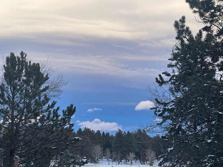
Stratus - The lowest of the clouds. This Latin word means ‘layer’ or ‘blanket’. Plain, dull white over the whole of the sky we can see from the ground, with not much to look at. (Not something I have many pictures of!) Usually featureless, and often remaining for days, the stratus forms when a large area of warm air cools rather than in thermal columns. A mass of warm air meeting cool air, the warm air rises above the cooler, but itself cools in the pressure drop. This is a slow, gentle process not carried forward by high winds, so it doesn’t move on with any urgency. In the summer, we feel it cool things off giving us a break from the intense sun. In the winter, we feel it keeping a warm layer in. It may carry enough moisture to lightly rain or snow, but no wild storm is imminent.
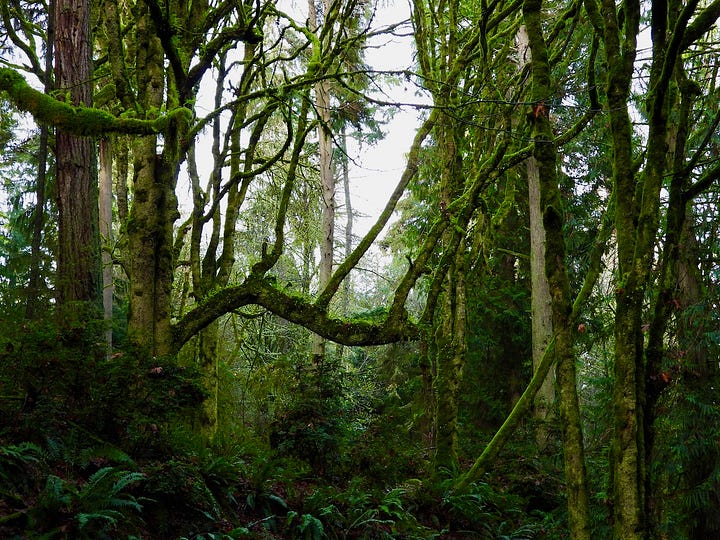
A week last December in Tacoma, WA, the continual stratus layer of cloud, common for that time of year, and so iconic at first arrival, became daunting in its continual white and grayish tone and continual drizzle, soaking everything. Of course, the coastal trees of cedars, spruce, and firs thrive on being wrapped in the mist, gathering droplets, and feeding ferns growing along their outstretched branches. This is an evident adaptation, a co-evolution of local climate and plant growth. Knowing this association eased my daunting feelings and hunger for a little sunshine.


Of course, as with all clouds, there are variations and transformations.
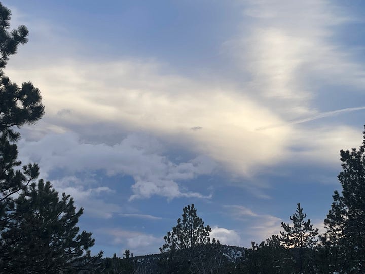
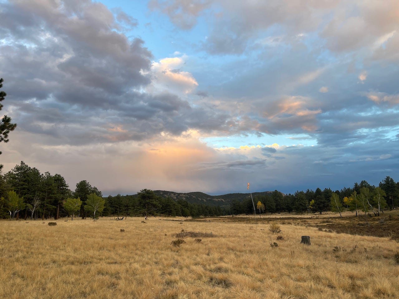
Stratocumulus - Note the combined names of ‘stratus’ and ‘cumulous’ together. So, a layer of clumps with lots of features. Affected by more turbulent air moving from the terrain it is close to, action begins to happen. Stratus clouds are coming apart and cumulus clouds are coming together rising a bit higher in the atmosphere. There can be ‘holes’ in the clouds as the lumps move together and apart with the airflow. Sunlight might shine through these gaps making spectacular views shot through with crepuscular rays of light. They can make great sunset pictures. Mankind has tried to categorize this transformation naming three different species with seven varieties2 of cloud formations. Stratocumulus can account for a great many noticeable clouds.


So, even a featureless white sky will soon change, abiding only to those invisible conditions that play on its formations, breaking apart, building into something new, or clearing completely. Don’t miss the show.
Up next: Mid-level clouds
All photos are copyright the Abert Essays unless otherwise noted. Any use requires the permission by the Abert Essays.
Sources:
- The Cloud Spotter’s Guide: The Science, History, and Culture of Clouds, Gavin Pretor-Pinney, Founder of the Cloud Appreciation Society, my thanks to Gavin for permitting me to lean heavily referencing this information.
-https://cloudappreciationsociety.org/ Extensive information, photos, and the option to join as a member.
- The International Cloud Atlas: https://cloudatlas.wmo.int/en/home.html
- https://www.noaa.gov/jetstream/clouds/nws-cloud-chart
- https://www.weather.gov/lmk/cloud_classification
- https://sciencenotes.org/layers-of-the-atmosphere/
You can also find the Abert Essays on my social media sites:
The Cloud Spotter’s Guide, pg 83
The Cloud Spotter’s Guide, pg 92


