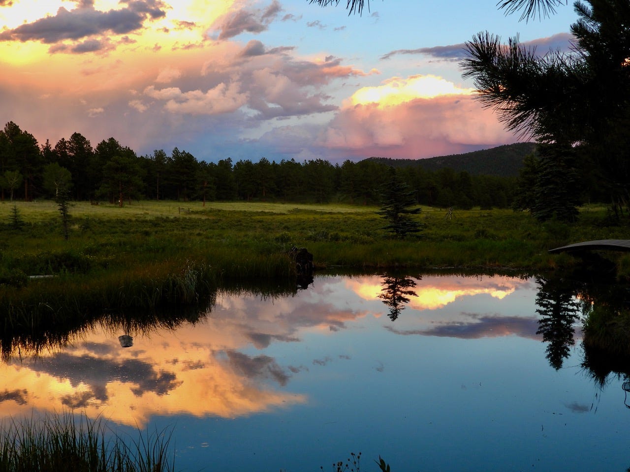
On a recent early morning drive to Denver, the sunrise grew in fiery shades of oranges, yellows, and darker streaks of grays, wrapped in swirls, spikes, and long curls, against a sapphire blue sky. The clouds present were the leading edge of a winter storm that was pushing down from the north to bring first drizzle and then 6 inches of snow later in the day as the temperature dropped.
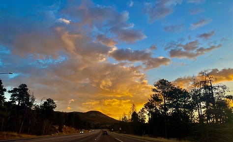
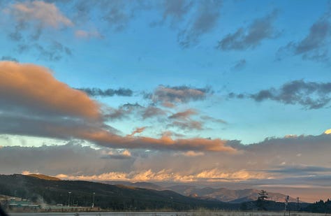
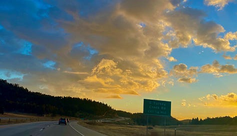
The morning’s sky show, the result of an invisible cocktail of variables combined in a distracting and temporary performance meant for no particular audience, but a treat for those of us who did notice and appreciate it.
The invisible variables at play are: warm air, water vapor, cool air, ice, altitude, sunlight, terrain, and wind. While the meteorologists will make sofisticted predictions based on satellite computer models of the movement of cold and warm fronts, wind levels and speeds, barometric pressure, and humidity levels, let’s step back to some basics on just how clouds form.
Back in the late 18th and 19th centuries, mankind decided we needed to understand and inventory the natural world by naming and cataloging plants, animals, insects, birds, rocks, fossils, and, yes, clouds, too. Taxonomy was born, and grand, heated debates began. The International Cloud Atlas was created in 1896 and they came up with 10 basic types of clouds, all given fancy, but accurately descriptive, Latin names. 110 or so years later, the Cloud Appreciation Society came into being. Being a proud cloud nerd, I am member #49,321. With the Society’s blessing, I will be leaning heavily on their information. If you are inclined, their website is a great resource of photos, information, the Cloud Shop, and how to become a member. Their main reference book is The Cloud Spotters Guide by Gavin Pretor-Pinney, (noted in Sources below).
Up to the clouds…
For this part one on clouds, we’ll look at the lowest clouds. An awful lot goes on in the first mile and a quarter (5,000 to 7,000 ft) up into the atmosphere. From the ground to 6500ft up is where you will find most clouds hanging out, this is the bottom to mid-Troposphere.
Cumulous - ‘Happy little clouds’ (Thank you, Bob Ross)
Here is the most basic of clouds. These are the clouds that we see shapes in and find peacefully floating by on a pleasant day. Harmless. Gavin Pretor-Pinney, founder of the Cloud Appreciation Society, often refers to them as ‘the Simpsons clouds’.
How did they get there though? Here’s where the invisible parts come in. (You will likely recall much of this from school science.)
- The sun warms the ground — terrain and current air temps do affect this.
- The heat it generates rises.
- Carried with the heat rising is water vapor - evaporation, 350 billion droplets per cubic foot. Heat and water vapor rise, this is a thermal column, where it expands and cools in the higher, cold air.
- The water vapor begins to condense together forming larger droplets.
- Here comes the sun, and the sunlight scatters on the vapor prisms in all directions giving off the cloud’s white color. Areas more dense, not letting as much sunlight through, will appear as darker grays. What was created by the invisible, is now visible.
- Each cloud is the top of a thermal column. The birds know this, watch the turkey vultures circling and you can almost see the thermal column, topped with a cloud.
So, cumulous is simply Latin for heap, or stack. Building on top of the thermal column the vapor expands out like cauliflower rounded bumps, or heaps.
This entire process is in constant motion. Glancing at it, all seems stationary. Pause and watch, go ahead, stretch out on the grass on a summer day, and you will see swirls of movement as the clouds are being pushed about and reshaped by, yes, invisible winds aloft. Set a time-lapse (see above video) and there is a great deal of action. These winds can stretch a small cloud until it disappears from view. Winds can also begin to combine clouds in certain - invisible conditions - creating something new.
Cumulonimbus - The Thunderhead
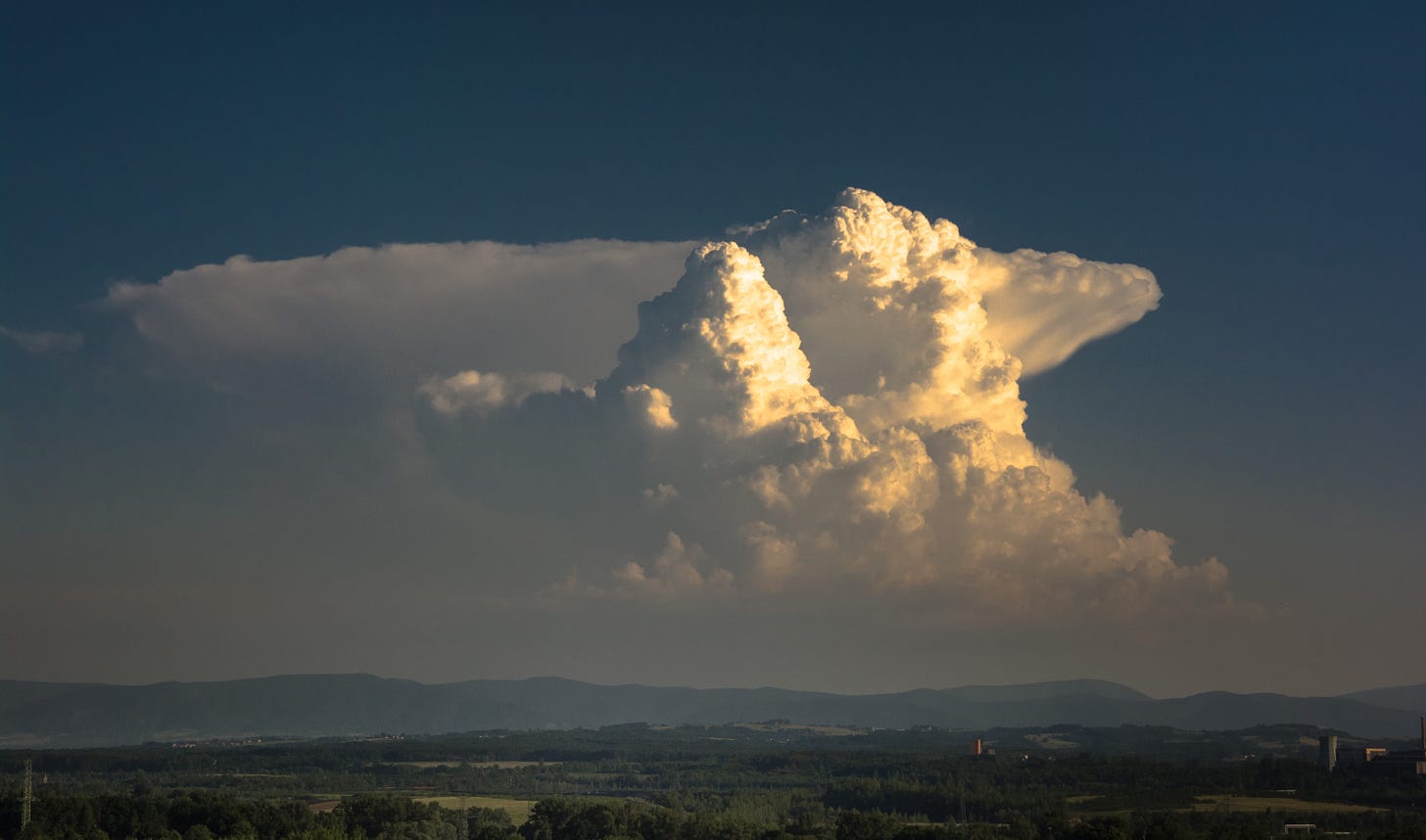
Then, there comes the times when the happy little clouds coalesce together with right combination of those invisible elements of heat, wind, and water vapor in just the right manner that the little cloud grows. Grows like Alice in Wonderland, high into the atmosphere, from 2,000 feet to upwards of 40 to 60 thousand feet high (11 miles). The energy created in this process of heat rising, cooling, falling, and repeating the cycle gives the cloud height. The greater the cloud becomes, the stronger the inflow of updrafts of warm air pulls into the tower at speeds of 25-70 mph, causing the cloud to rise higher, reaching the top of the troposphere (11-12 miles) where it flattens and stretches out to the anvil or thunderhead shape.
High in the atmosphere, the cooling air falls back down to be caught up over and over again. Inside and outside of the cloud, things become very active and unstable. This instability causes a whole host of types of clouds to churn and form around it.
Inside the tower, things are getting chaotic. Intense air drafts up and down, ice crystals rolling with the winds and building up the ice balls we know as hail. Water droplets combine, creating profound amounts of water gathered in the sky about to drop on our heads.
How much is ‘profound amounts of water’? Given that a medium-sized cumulous cloud can contain the water weight of 80 elephants, and the average elephant weighs between 2 to 7 tons. So, a cumulonimbus storm is an exponential of elephants in the amount of water weight. The precise answer is ‘profound amounts’! 🐘🐘🐘
Positive and negative charges are casting about with the ice crystals, creating heat energy and static electricity looking for a connection to strike. The lightning bolt, (I wrote about previously), ignites to nearly 50K°F, 4 times the heat of the sun, putting on a light and sound show that happens over 40,000 times each day around the planet, especially in the tropical regions.
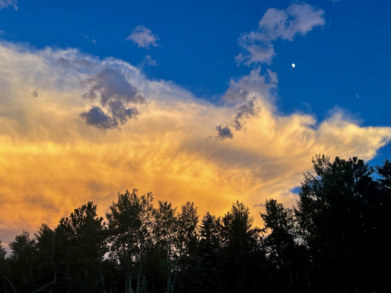
There are only a couple humans in the history of mankind that know first hand what it is like to be within the Thunderhead in full action. In 1959, Pilot Lt. Col William Rankin had to eject from his plane above a storm. His ride down through the storm was terrifying, his parachute not deploying yet as he was being carried back up in the winds like a ball of hail, with blades of lightning all around and drowning amounts of water soaking him. You can find the account here.
For those of us on the ground, the view is dark and rolling clouds peppered with lightning flashes, high winds, and often deluge sheets of rain, the cloud dropping its built-up load. Here in the Colorado Foothills, the storms will return in the Spring to entertain us, but clouds are something all people share worldwide. Some of us just get a little more jazzed about them.
Cloud spotting concepts will take several posts to cover the basics, and certainly this is just a taste to encourage you to look up (in the sky) more and appreciate those temporary shows for the audience who pauses to notice.
Next up: Stratus Clouds
All photos / videos are copyright of the Abert Essays unless otherwise noted.
Sources:
- The Cloud Spotter’s Guide: The Science, History, and Culture of Clouds, Gavin Pretor-Pinney, Founder of the Cloud Appreciation Society, 2006, Penguin books
- https://cloudappreciationsociety.org/ Extensive information, photos, and the option to join as a member.
- The International Cloud Atlas: https://cloudatlas.wmo.int/en/home.html
- https://www.noaa.gov/jetstream/clouds/nws-cloud-chart
- https://www.weather.gov/lmk/cloud_classification
- https://sciencenotes.org/layers-of-the-atmosphere/
You can find The Abert Essays, along with my ‘Encounters’ posts, on my social media sites: https://www.facebook.com/AbertEssays


